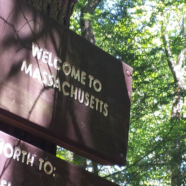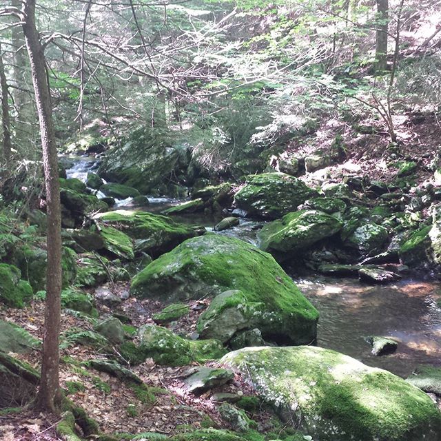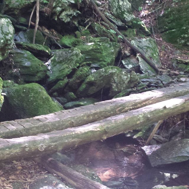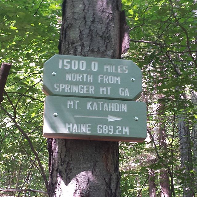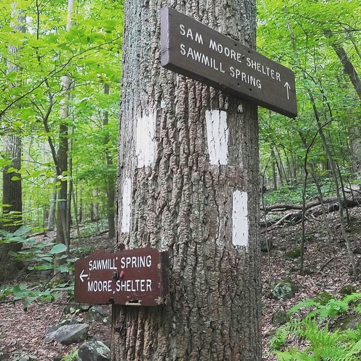
Guess where I am. Yep. The A.T. On my last shakedown hike (with full pack) before heading to Vermont in a week. Also, this post is a test to see whether it will automagically post to my hiking blog when I use the tag #AT2017 Oh, also, the Sam Moore Shelter is in northern Virginia, south of Snickers Gap.
via Instagram http://ift.tt/2udHdFl
via Instagram http://ift.tt/2udHdFl