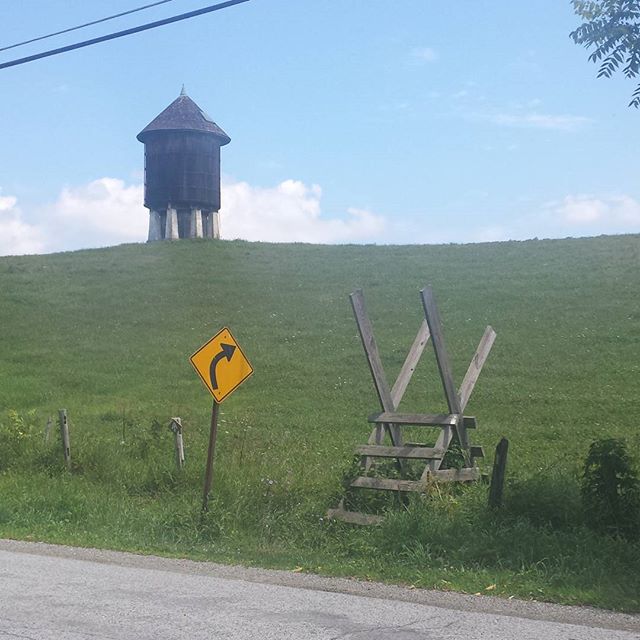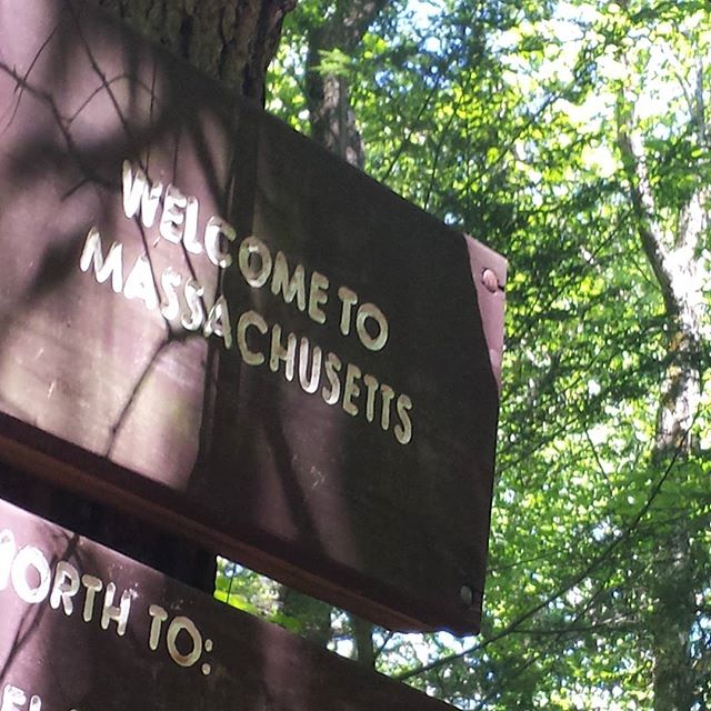
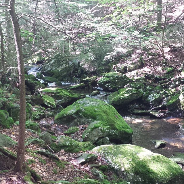
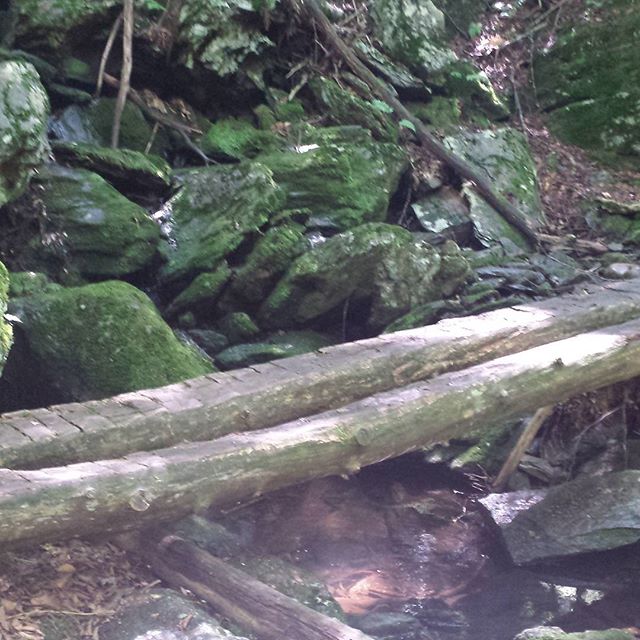
Signs on the Appalachian Trail. Passed this one at 3:13 on 1 August 2015. #appalachiantrail #Massachusetts #signs #AT2015
via Instagram http://ift.tt/1KHgCpT
via Instagram http://ift.tt/1KHgCpT
Kurt was at Mile 1,500 of the AT on Sat, 1 Aug 2015 (10:07 AM) I mean, wow, really?! #AT2015 http://t.co/o2HL7qLeQt
from http://twitter.com/KurtBodling via IFTTT
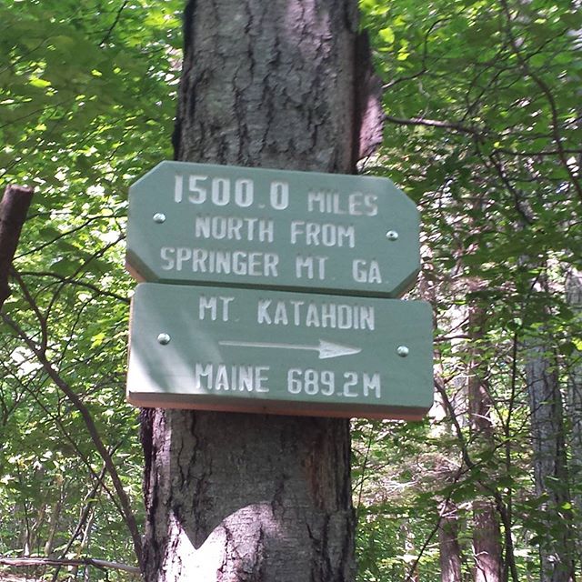

Oh, and I'm in Salisbury, CT. That gives me 1,498.9 miles hiked so far from Springer Mountain in Georgia to where I got off the Trail this afternoon to get into town. So early Saturday morning at some point I will have hiked 1,500 mikes on the AT.
And the Massachusetts border is at 1,506.3 … Moving right along here.