which title, being interpreted, means: Kurt’s Killington to Katahdin for 2,000
Or, slightly filled out: Kurt’s [hike from the ‘Maine Junction’ near] Killington, [Vermont] to [Mount] Katahdin, [Maine] for 2,000 [miles total, and thensome, on the Appalachian Trail].
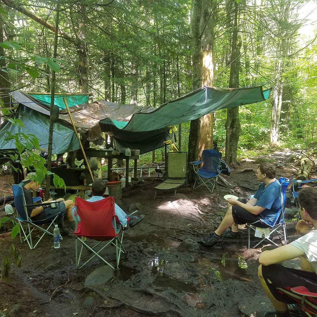
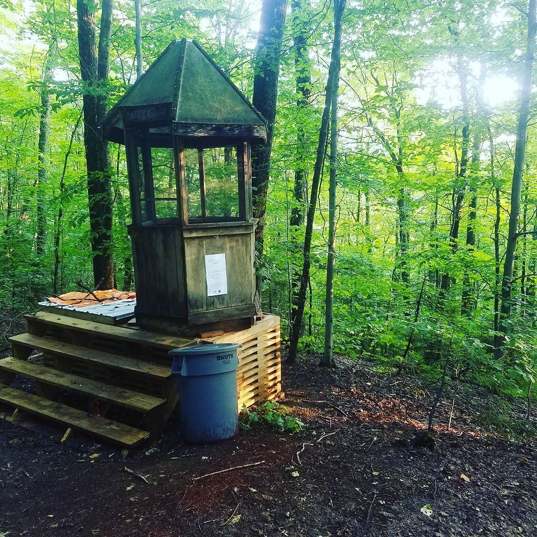
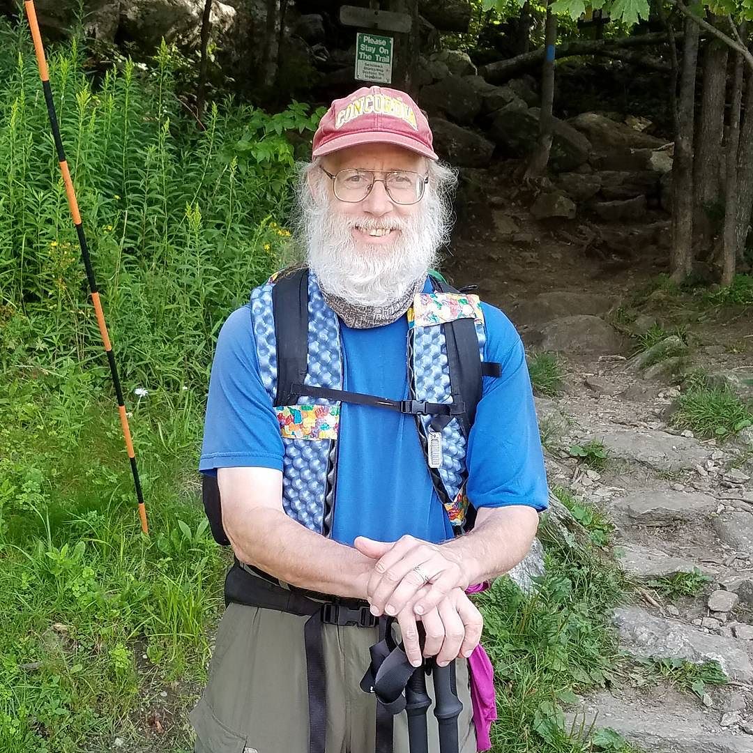
One week from today I intend to be setting out on the last 500 miles of the Trail I have yet to hike. Ann will drop me off; keep me supplied with regular food boxes mailed to post offices and hiker hostels along the way; and I’ll walk ‘north’ on the Trail until she comes to pick me up at the end. (North in quotes because the compass direction starts out more eastward at first, then northeastward.)
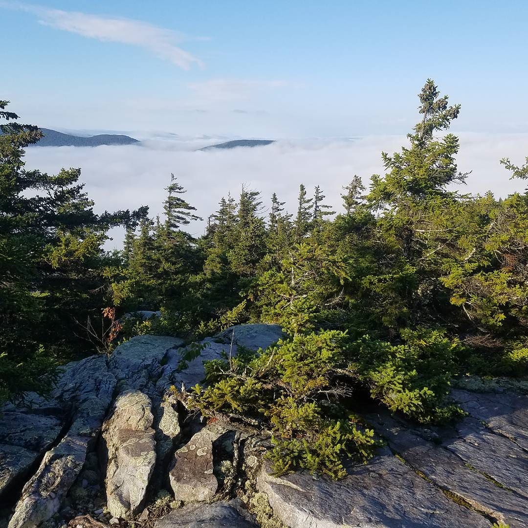
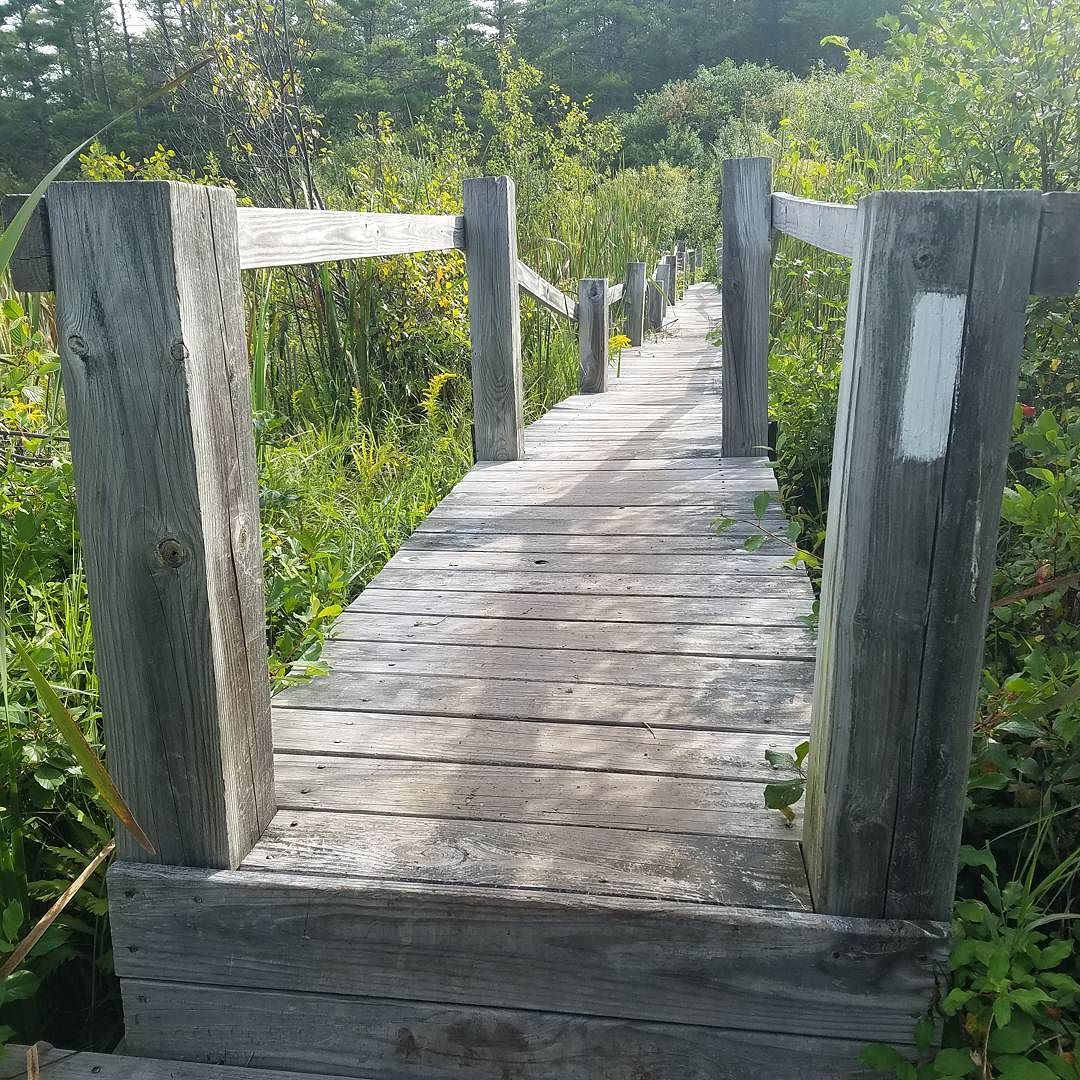
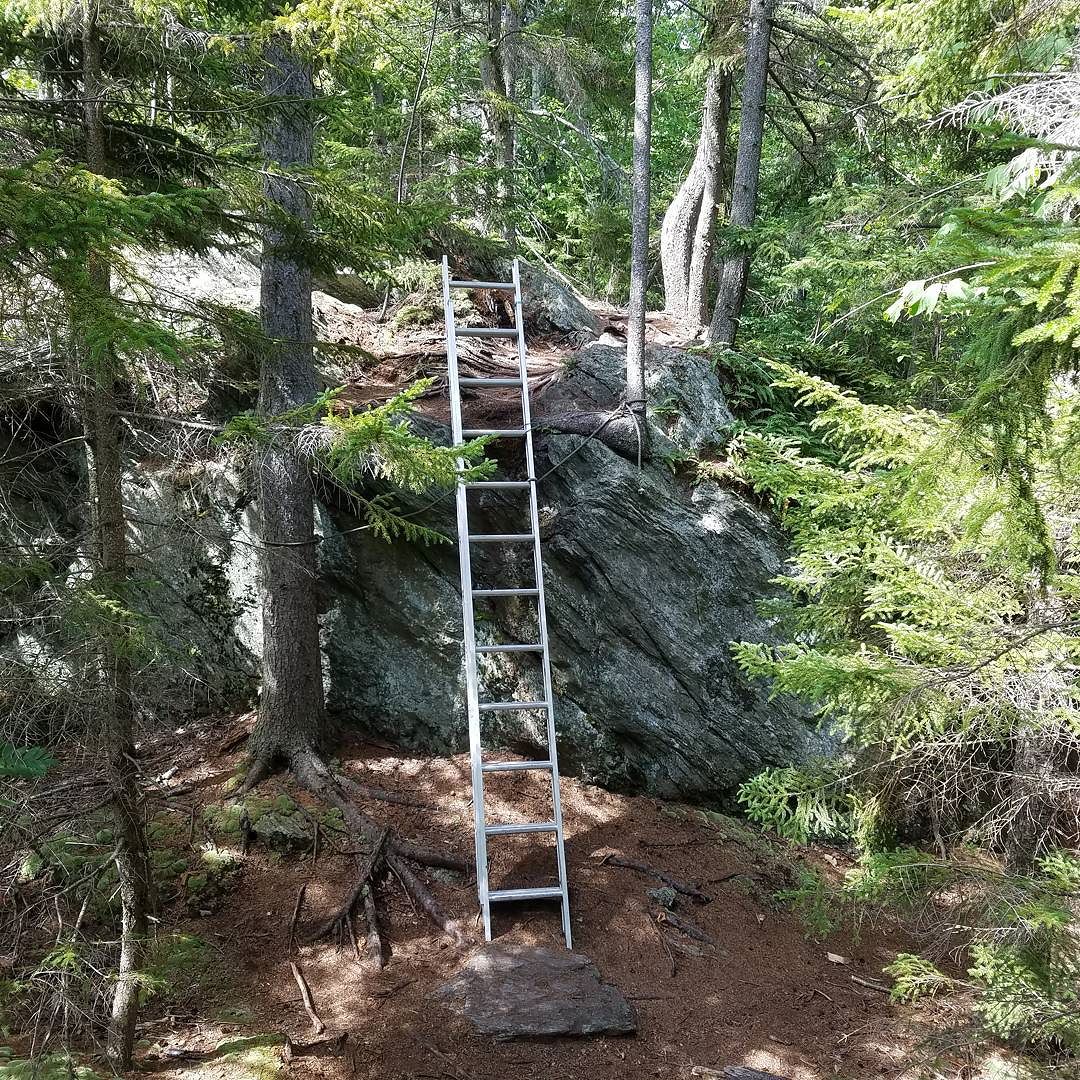
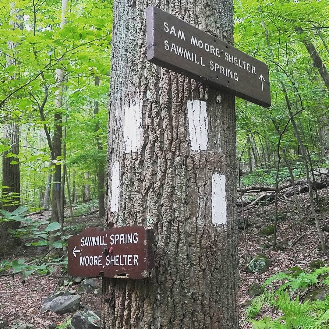
The ‘Maine Junction’ is where the Appalachian Trail and Long Trail diverge after having shared space in the southern 100 miles of Vermont. The Long Trail heads north through the Green Mountains to the Canadian border. My path will take me through Hanover, NH (home of Dartmouth College); through the White Mountains and the Presidential Range — including over the top of Mount Washington (just over 6,200 feet high; over-under-around-through Mahoosuc Notch (“hardest mile on the AT” … look it up); through the 100 mile Wilderness in Maine; and finally up the storied Mount Katahdin in Baxter State Park.
This stretch of the Trail runs into more remote areas than I was hiking down south 2 years ago when I started this blog. So there probably won’t be as many updates as often. But this would be a good time to UNsubscribe if you don’t want to be bothered. (You could also just mark the alerts to go to your email spam folders.) Or it’s a time to encourage your family and friends to SUBscribe. Either way.
So, K’sK2K42K. Starts a week from this morning.