Trail Pix from Kurt’s hike

Bridges on the Appalachian Trail. This long foot-travel-only bridge crosses the James River near Glasgow, VA. When I crossed it before noon today I was excited to find trail magic (in the form of a cooler packed full of ice and drinks) at the far end. Bridge was built in 2000. #appalachiantrail #bridges #Virginia #at2015
via Instagram http://ift.tt/1QMl4BC

Trail Pix from Kurt’s hike

Rocks of the Appalachian Trail. This large rock, suspended over the Trail by being wedged between two house-sized boulders, is called “The Guillotine” in the guidebooks. #appalachiantrail #rocks #at2015
via Instagram http://ift.tt/1BXbEML

Hiking by the Numbers, part 2

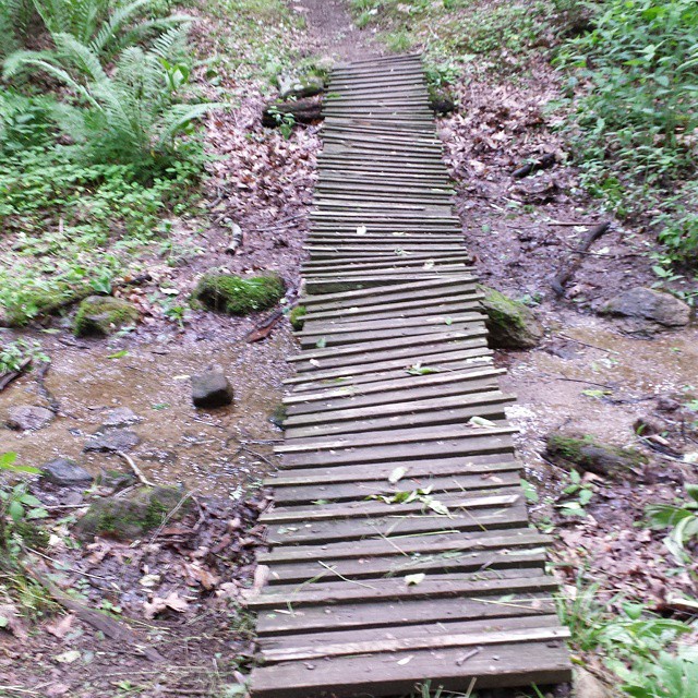
Now that I’m virtually 1/3 of the way toward completing this hike, it seems time to update the “Hiking by the Numbers” post.

I started hiking on 13 April. Today is only my second “zero day” (a day with no Trail miles hiked). That makes for 53 hiking days since I began.

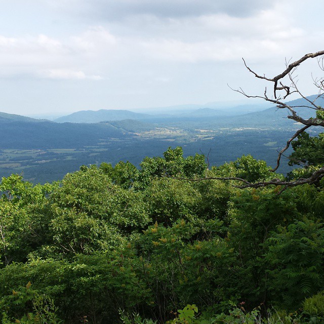
I’ve hiked 727.8 miles on the Trail (plus who knows how many more miles on side trails to shelters, to water sources, to hostels, and in or around the towns I’ve been in). The total distance this year is 2189.2 miles, so my one third mark will come tomorrow two miles after I start hiking, when to get to 729.7. (By the way, the 2/3 mark comes at Bull’s Bridge, Connecticut, a 19th century covered bridge over the Housatonic River just outside the village of Bull’s Bridge.)

My biggest mileage day was just on Tuesday, 2 June, when I hiked 18.2 miles. My shortest day was on Monday, 4 May when I only hiked 3.4 miles to get into Hot Springs, North Carolina.

Reviews of the Views

There are two well-known spots along the Trail in southwestern Virginia that are famous for their views of the countryside: Dragon’s Tooth, and McAfee Knob. I passed by them on successive days this past week.

Dragon’s Tooth is a tall monolith at the edge of a high point that reminded someone of a large tooth, I suppose. McAfee Knob is said to be the most photographed spot on the Trail; it features a large cantilevered rock that people stand out on to have their photos taken.

So this week I visited the Tooth and took a picture there. And the next day was up on the Knob where a hiker I’d met before took my picture as I was out on the rock. (As a side note, I said before I started the hike that my one fear was that I’d get to McAfee Knob and there wouldn’t be anyone to take my iconic photo for me. Turned out to be no issue at all.)

ANYWAY, here is the photo of Dragon’s Tooth:

Dragon's Tooth

And here I am at McAfee Knob:

McAfee Knob

It was rainy and foggy almost the entire week. I’m told there are great views. I’ll have to trust that there are. I figure I can use Photoshop or some other software to insert such a background into any of these pictures.

Trail Pix from Kurt’s hike

Sometimes the Appalachian Trail looks like this. This is on the north side of the Dragon’s Tooth in Virginia, south of Roanoke a ways. I didn’t realize there were places south of New England where steel rungs like this were necessary. And we came down this in the rain yesterday, or there would be other pictures. #appalachiantrail #Virginia #at2015
via Instagram http://ift.tt/1dOvq88